We were in Barcelona for a 9-day early summer vacation. IT, who happened to be on business in London, attended a wedding in Paris, and joined us for the week. I had visited Barcelona years ago – before the Olympics were held there in 1992. We picked this location because my office was going to have a conference there and I was going to stay on afterwards. But the conference location and schedule changed and by this time, we had already reserved an apartment and made plans so we decided to stick to it.
I wanted to re-watch “Vicky Cristina Barcelona” before the trip but Netflix did not have it on streaming.
The day of our flight to Barcelona was an exceptionally clear day. Although there were some clouds, I can see the Mediterranean coastline clearly as the flight path hugs the French and then Spanish coasts. To identify the towns, I have tried to match the stretches of coastline in my shots to that recorded in Google’s satellite map. This is the geography geek (in Chris) coming through. To compensate for lack of clarity and possibly boredom, please click on the photos to access a bigger version.
The photo above shows The Camargue (lower left corner) in Southwestern France, where the River Rhone meets the Mediterranean sea – a protected wetlands area well known for mosquitoes.
Shown below is roughly where the border of Spain (very left) and France (right) is on the Mediterranean coast. The beach on the right looks like Argules-sur-mer in France.
Our flight path followed the coastline of Costa Brava. The town below with a beach and a boat shelter is Palamos in Spain. The three piers made it easy to spot.
This town on the left with a long pier is Sant Feliu de Guixols. There are so many beaches along the coast.

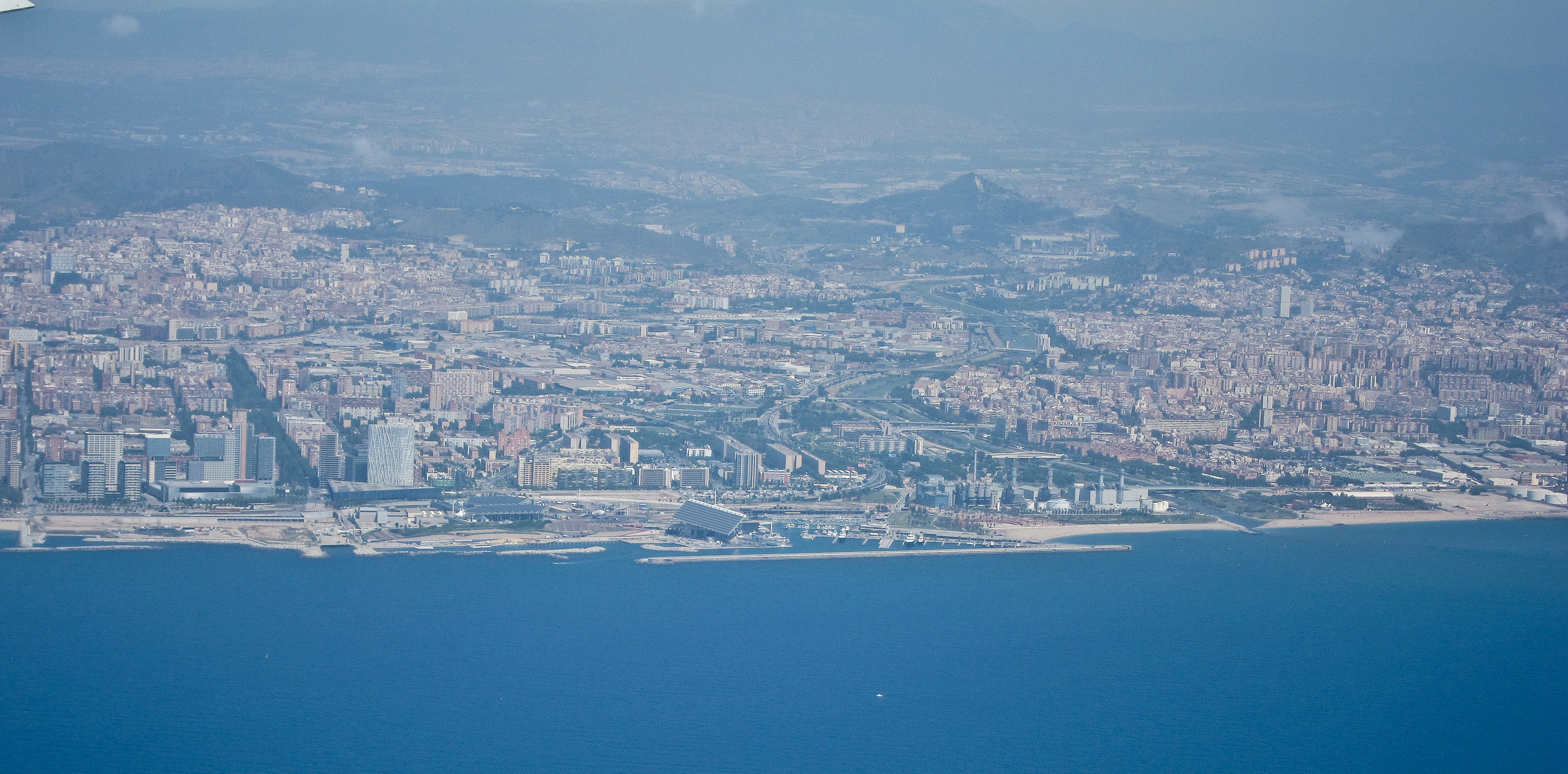
Finally, we reached Barcelona. Since the airport is on the west side of the city, we have to pass in front of the harbor, which essentially offered us a bird’s eye view of the whole city.
East side of Barcelona

I really recommend clicking on the photo to get a bigger version on screen and then click again to zoom in and scroll around.
Downtown waterfront and Barcelonetta on the right side edge. The wedge shape building is the Westin Hotel. The green line of trees leading away from the harbor is the Ramblas which ends at Plaça de Catalunya. The church of Sagrada Familia is visible at the right edge.
The castle on top of Mount Montjuic is on the left edge of the screen. The white facade of MACBA is clearly visible near the middle.

Looping around the harbor. The church of Sagrada Familia is just caught in frame on the left edge, Torre Agbar in the middle and the twin towers at Port Olympic on the right.

The castle on Montjuic is on the right edge, the Jewish cemetery on the left and with the Olympic park sculpture just above.
 The details captured in these pictures are unexpected. Remember, these were taken from a jet plane through two panes of dirty window using a point-and-shoot camera.


