Guatemala is a small, very mountainous country in Central America, with a string of volcanoes and highlands between two coasts (Pacific and Caribbean). While on a cruise, we had the chance to dock at Puerto Quetzal, the country’s largest port on the Pacific coast. From there, we joined an excursion to see a coffee planation and visited Antigua, the ancient capital of the country.
Antigua lies in the Valley of Panchoy, around 1,530 m above sea level, surrounded by three big volcanoes: Agua, Fuego, and Acatenango.
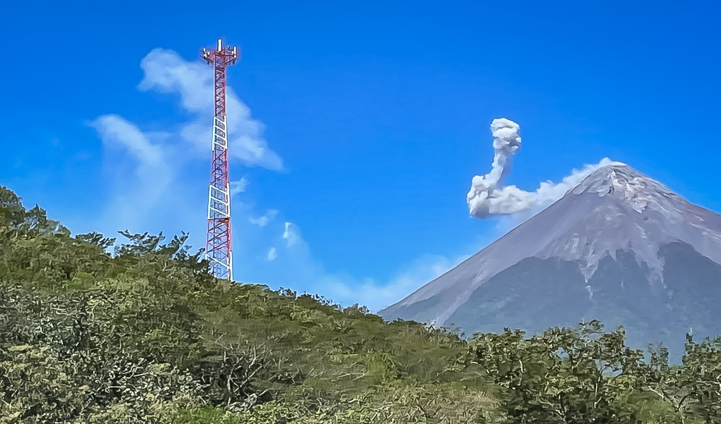
On our 3 hour-drive over to Antigua, we passed an active volcano that was spewing ash intermittently and the wind at high altitude created this oddly-shaped smoke pattern.
For more than 230 years (1543–1773), Antigua (then Santiago) was the political and religious capital for all of colonial Central America—what is now Guatemala, El Salvador, Honduras, Nicaragua, Costa Rica, and Chiapas. Its skyline is dominated by Volcán de Agua and its slope is fertile and covered with highland plantations.

After independence, the same landowning elite largely kept control of the country, and the unresolved tensions over land, ethnicity, and power eventually fed into the country’s 36-years (1960-1996) civil war.

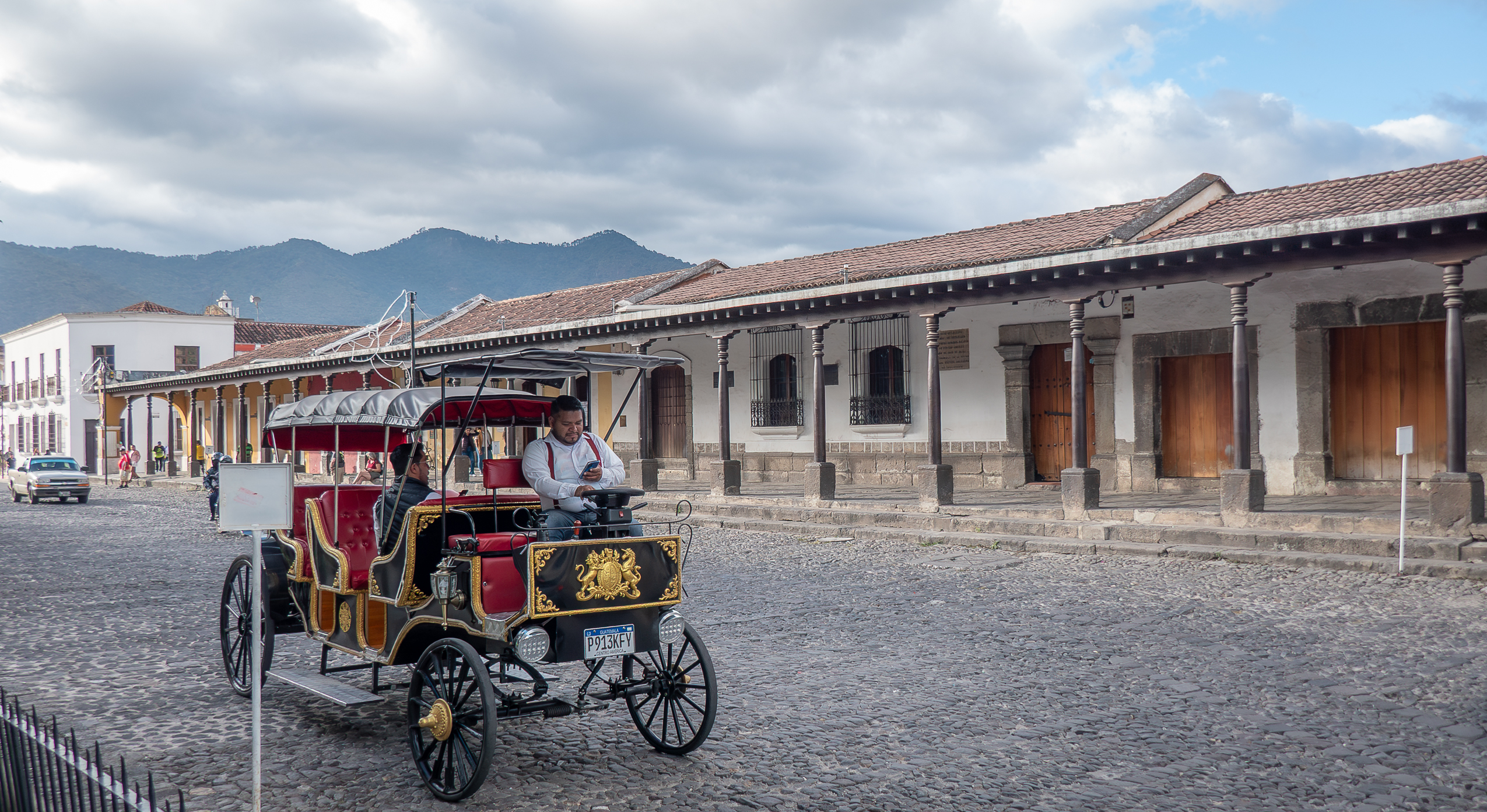
Antigua was planned on a Renaissance-inspired grid: square blocks, straight north–south / east–west streets, central plaza with cathedral and government palace—textbook Spanish colonial town planning.
At the center of the city is Parque Central, the cathedral (Catedral de San Jose) is on one side (photo below) of the square and the former Captain General’s Palace (Real Palacio de los Capitanes Generales) is on another side (photo above).


Due to its historic central role, there are religious complexes all over the compact city: Franciscans, Dominicans, Mercedarians, Capuchins, and Jesuits missions.
Click on any image to view it at a higher resolution.
Antigua’s position in a volcanic valley meant constant seismic activity. Major quakes hit repeatedly; the Santa Marta earthquakes in 1773 were catastrophic, destroying much of the city.


In 1776 the Spanish Crown ordered the capital moved to a safer location, in the Valley of the Shrine—today’s Guatemala City. The old capital became “La Antigua Guatemala” (“the old Guatemala”).


Because it lost capital status, Antigua didn’t grow into a major industrial or political center. That underdevelopment, paradoxically, helped preserve the colonial grid and building stock (including ruins) relatively intact

In the 20th century, especially after being declared a National Monument (1944) and a UNESCO World Heritage site (1979), Antigua shifted into a heritage tourism and cultural role, and is now a significant source of foreign exchange and jobs.
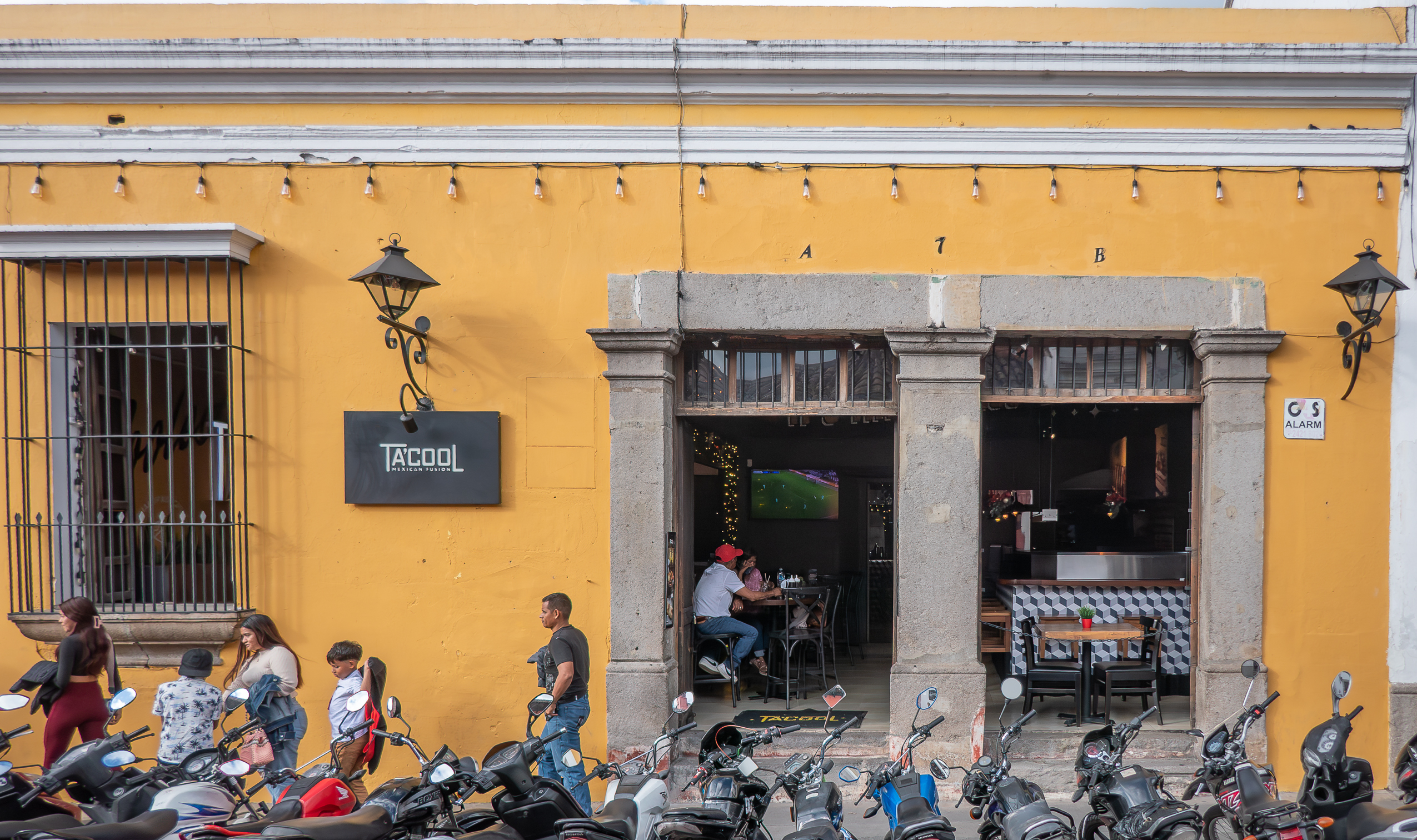
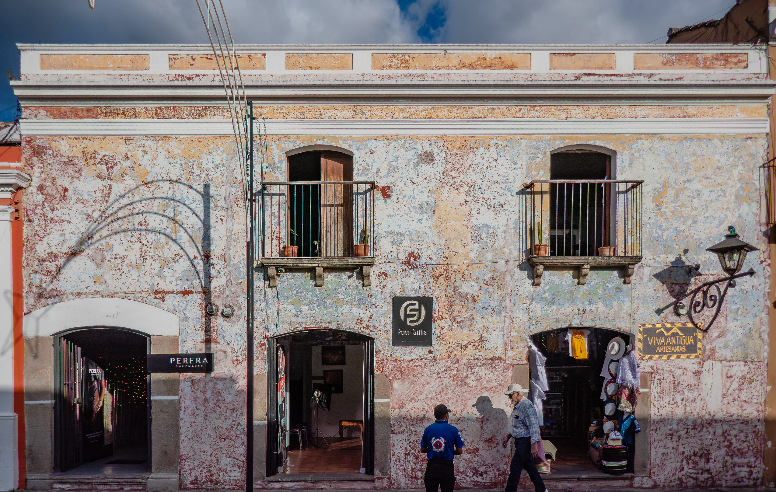
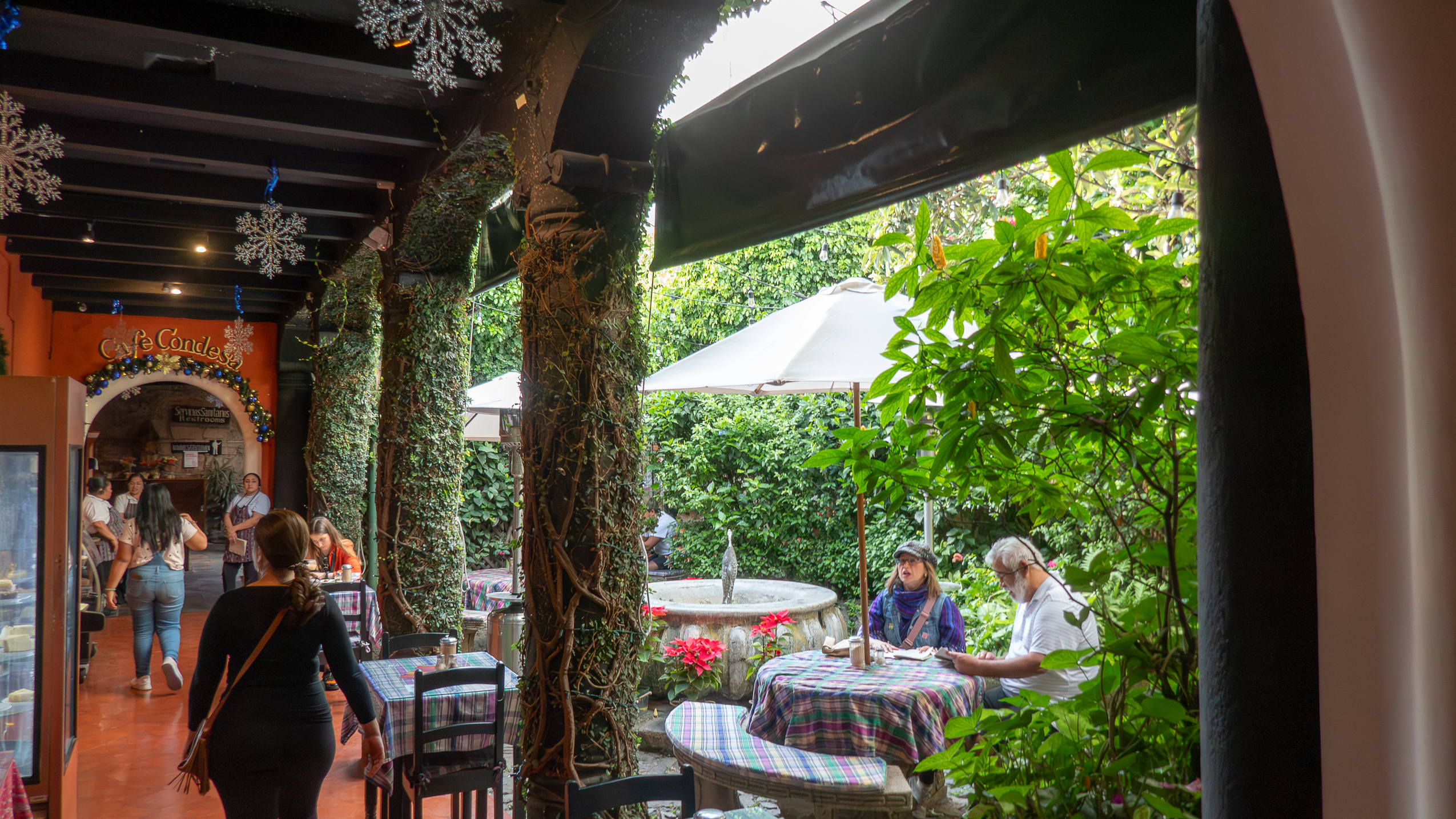
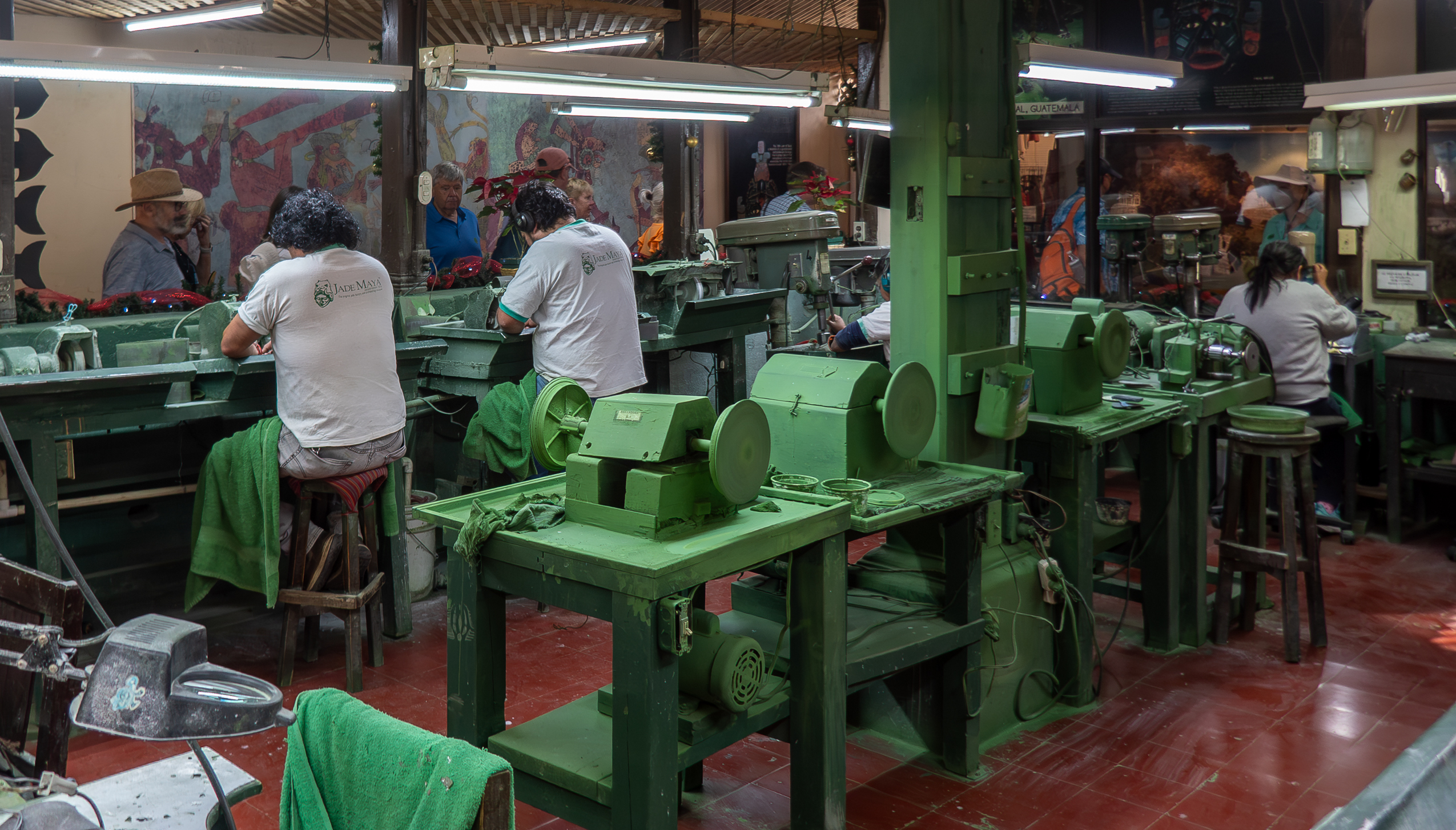
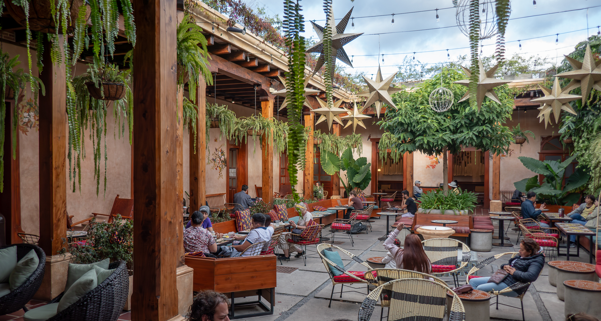
There are many restored buildings which house tourist shops, boutique hotels, language schools, beautiful cafes, and expat enclaves. We toured a jade workshop and boutique (Jade Maya).
The coffee fincas around Antigua and coffee-themed tours show how the volcanic slopes fueled the export agriculture. Historically the plantations are controlled by elites; that inequal social structure is still largely intact. That may explain the armed guards at the gate of the coffee planation that we toured.


And in Central Plaza, indigenous Mayans were hawking colorful textiles to tourists in a city whose built environment is entirely Spanish colonial.
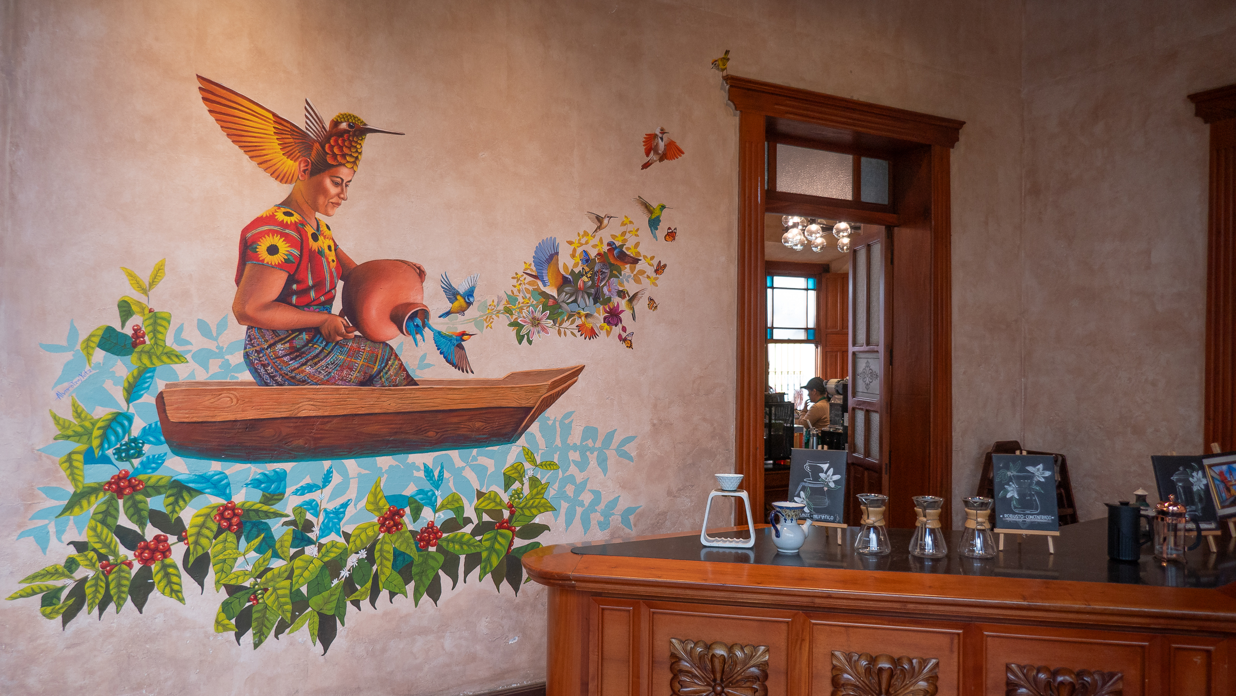
In Antigua, we found one of the most comfortable and colorful Starbucks.
Although our visit was brief, we saw traces of a social structure built on political power, church authority, and land ownership.